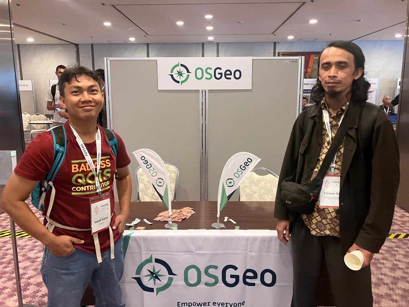
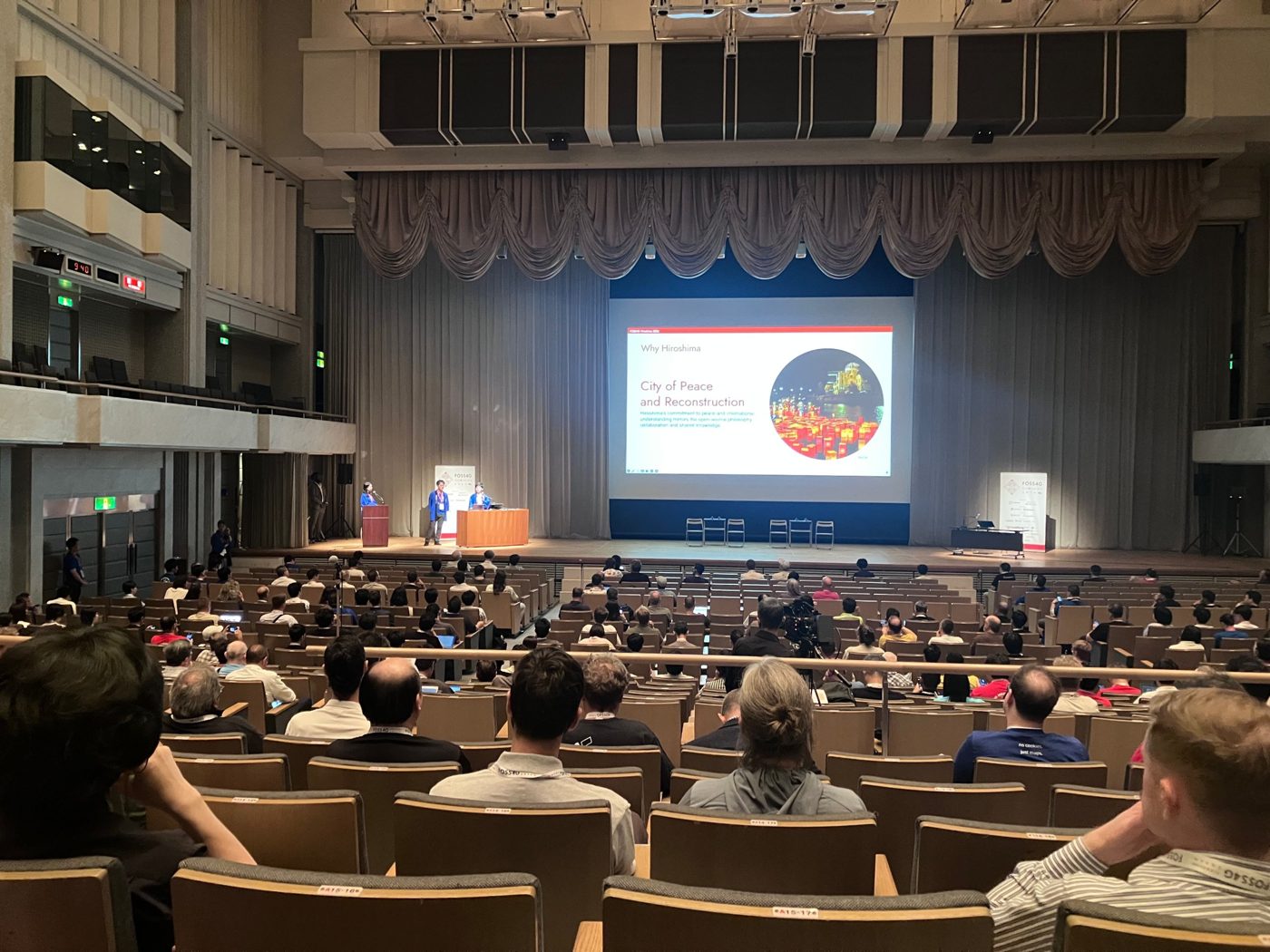
FOSS4G 2026, the annual global conference of the Open Source Geospatial Foundation (OSGeo), took place in Hiroshima, Japan, from 30 August to 3 September 2026. Workshops ran at the RCC Cultural Center, and the main conference was held at the International Conference Center Hiroshima in the Hiroshima Peace Memorial Park.
Dr. Firman Hadi of the Department of Geodetic Engineering, Universitas Diponegoro, represented the Indonesian community with two goals: present research at the Academic Track, and bring the proposal for an official OSGeo Indonesia chapter directly to the OSGeo Board.
Toward an official OSGeo Indonesia chapter
The main mission of the trip was to open the formal path to an Indonesian chapter. Firman met with two OSGeo Board members, Vicky Vergara (pgRouting project lead) and Marco Bernasocchi (QGIS.org Chair, creator of QField, and CEO of OPENGIS.ch), to discuss the steps involved. Vicky Vergara will bring the proposal to an OSGeo Board meeting. While we wait for the Board’s decision, this site, osgeo.id, serves as the community’s home.
“Meeting the OSGeo Board in person is an important step toward giving Indonesia’s open source geospatial community an official home at the global level.”
Academic Track paper
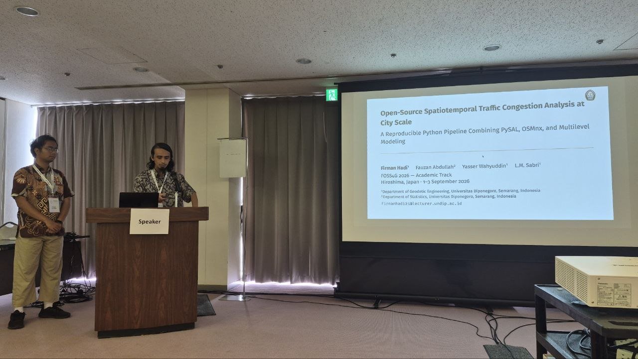
On 2 September, Firman presented “Open-Source Spatiotemporal Traffic Congestion Analysis at City Scale: A Reproducible Python Pipeline Combining PySAL, OSMnx, and Multilevel Modeling” by Firman Hadi, Fauzan Abdullah, Yasser Wahyuddin, and L.M. Sabri.
The work is an MIT-licensed Python package that brings together traffic data collection from multiple providers, OpenStreetMap-based road segment matching with stable segment IDs, modular analysis, and multilevel variance decomposition in one reproducible workflow. It was tested on 316 million traffic observations in Jakarta, Bandung, and Semarang, reaching a 99.8% segment match rate across more than 50,000 snapshots, and the full pipeline runs in about fifteen minutes on consumer hardware.
The paper is published in The International Archives of the Photogrammetry, Remote Sensing and Spatial Information Sciences, Vol. L-4/W1-2026, pp. 49–56: doi:10.5194/isprs-archives-L-4-W1-2026-49-2026.
Workshops and keynotes
- GeoAI with City2Graph — a workshop by Yuta Sato (University of Liverpool) on turning urban geospatial data into graphs with GeoPandas, NetworkX, OSMnx, and City2Graph, then clustering city neighbourhoods with Graph Neural Networks in PyTorch Geometric.
- How Our Community Was Born — Markus Neteler and Prof. Venkatesh Raghavan looked back on more than 20 years of FOSS4G, followed by the OSGeo Board on where the foundation is heading, including the role of local chapters.
- Memory, Technology, and Peace — Prof. Hidenori Watanave (The University of Tokyo) showed how maps, satellite imagery, digital archives, and AI help pass on memories of war and disaster, including the Hiroshima Archive.
- Sustaining Open Source — Lander Jiménez Ocio (Mondragon University) presented the worker-owned Mondragon cooperative model as inspiration for keeping open source projects sustainable.
- Mapping for a Sustainable World — Dr. Britta Ricker (Utrecht University), followed by a panel with UNHCR, UNDP, UN-SPIDER, UNITAR, and Japan’s IPA on geospatial technology for humanitarian work and disaster risk reduction.
New connections
Conversations outside the sessions opened several possible collaborations:
- MIERUNE Inc. and Kartoza — QGIS training content and QGIS training certification
- Asian Institute of Technology — doctoral student research with Prof. Sarawut Ninsawat
- Nara Medical University — spatial statistics in epidemiology
- LocationMind Inc. — understanding population mobility from mobile device data
- Nils Nolde (Valhalla maintainer) — open source routing for congestion research
- AzukiMap K.K. — running a business built on FOSS4G
What’s next
- Follow up on the OSGeo Board’s decision, prepare the chapter application, and keep building osgeo.id
- Develop QGIS training materials and explore certification with Kartoza
- Continue research collaborations started in Hiroshima
- Bring what we learned into GIS, remote sensing, and spatial analysis teaching
Want to help build OSGeo Indonesia? Join the community.
Read the Universitas Diponegoro press release (in Indonesian).