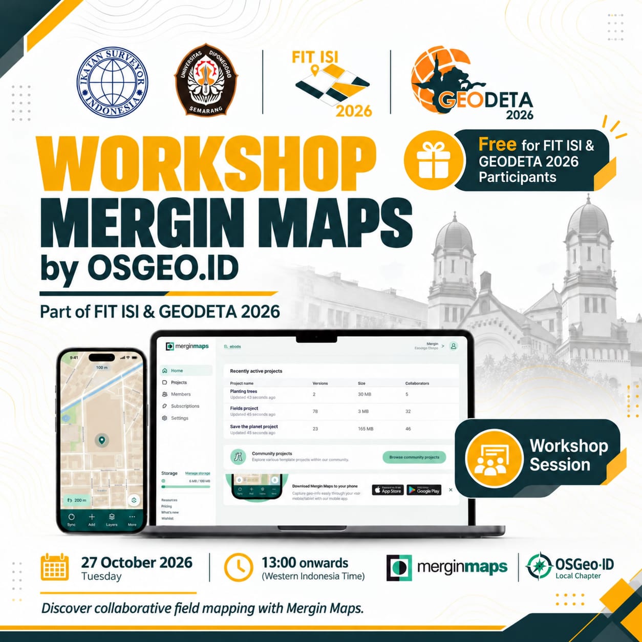
OSGeo Indonesia is running a hands-on Mergin Maps workshop as part of FIT ISI (Forum Ilmiah Tahunan Ikatan Surveyor Indonesia) & GEODETA 2026, held with Ikatan Surveyor Indonesia and Universitas Diponegoro in Semarang.
The workshop is free for registered FIT ISI & GEODETA 2026 participants.
Details
- Date: Tuesday, 27 October 2026
- Time: 13:00 WIB (Western Indonesia Time) onwards
- Location: Semarang, Central Java (FIT ISI & GEODETA 2026 venue)
- Fee: Free for FIT ISI & GEODETA 2026 participants
About Mergin Maps
Mergin Maps is an open source field data collection platform built on QGIS. You design a project in QGIS, sync it to the cloud, and collect data in the field with the Mergin Maps mobile app on Android or iOS. Changes from every team member sync back automatically, so your whole team works from the same up-to-date map.
What you’ll learn
- Setting up a Mergin Maps project from QGIS
- Designing forms for field data collection
- Collecting points, lines, and polygons with the mobile app
- Syncing and collaborating with team members
- Bringing field data back into QGIS for analysis
Who should attend
Surveyors, geodesy and geomatics students, GIS practitioners, and anyone who collects spatial data in the field. Bring a laptop with QGIS installed and a smartphone with the Mergin Maps app.
Questions?
Join the conversation on our Telegram group or contact us. See all upcoming events on the Events page.